
A first visit to Point Reyes: Woodland, meadows and geology at Bear Valley
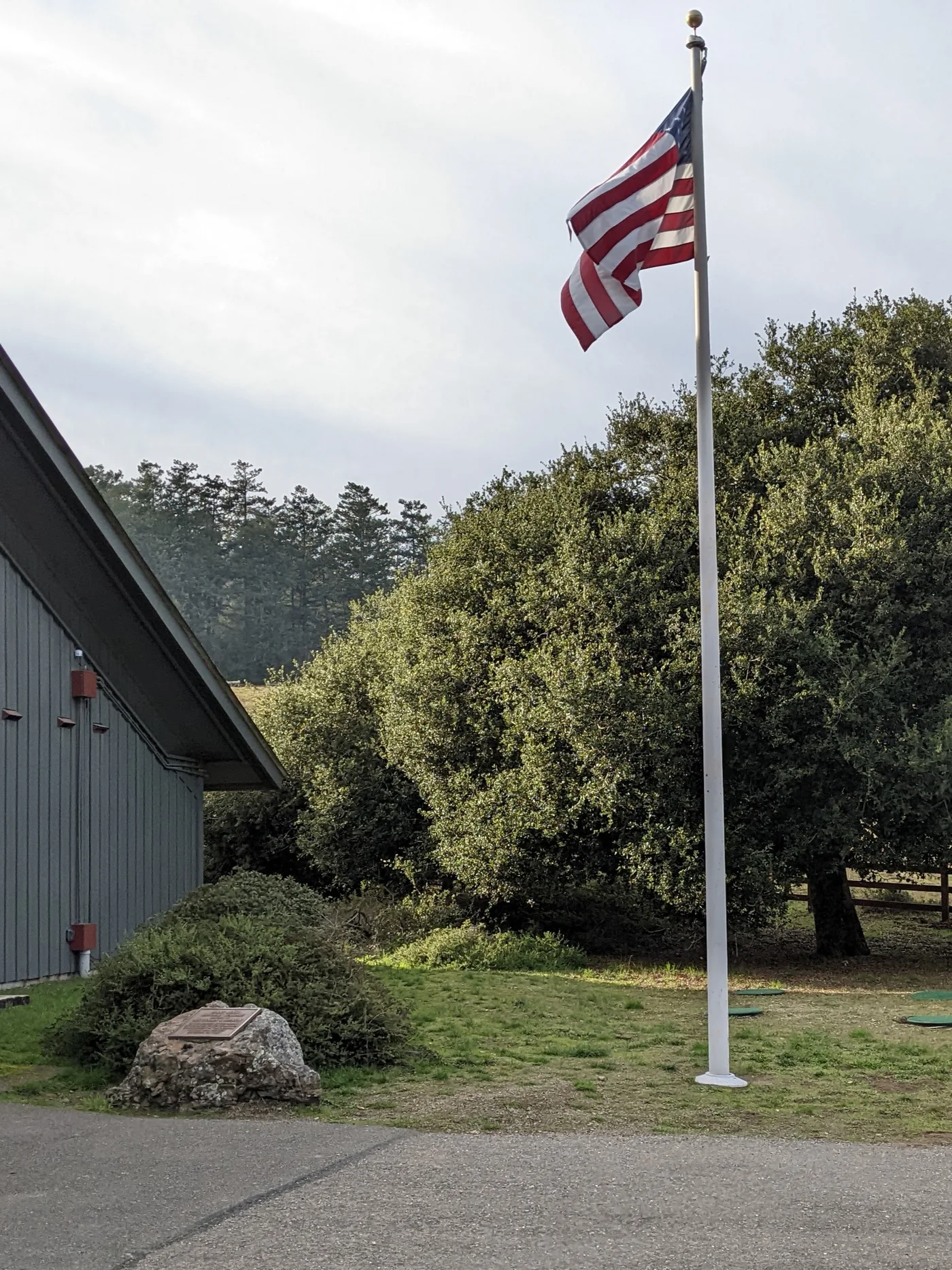 Archive photo · 2021
Start at Bear Valley, choose a manageable short walk, understand the limits of paved paths and consider an extension to Divide Meadow. Save the lighthouse for another outing.
For: First-time North Bay nature visitors, Families visiting with children or older relatives
Point Reyes is much larger than its familiar lighthouse photograph suggests. For a first visit, spend half a day at Bear Valley: learn about the peninsula at the visitor center, take a short geology walk, then choose a comfortable turnaround point in the woods. All three parts share one starting area, leaving time for children to move from exhibits to leaves and for adults to sit down.
Choose a short walk and allow for the drive
- Editorial timing: allow 2–3 hours for the short outing, excluding the drive from elsewhere in the Bay Area. For Divide Meadow, allow 3–4 hours in the park and adjust to the slowest person in your group.
- NPS currently lists ordinary day entry, walking and parking at visitor centers and trailheads as free. Food, transportation, camping and special activities are separate.
- Navigate directly to Bear Valley Visitor Center and save an offline map and return route. A broad search for Point Reyes may lead somewhere other than this outing’s starting point.
- Bring water, a simple lunch, a wind-resistant layer and comfortable walking shoes. Woodland and coastal weather can differ; do not dress solely for the temperature at home.
Three different stops around Bear Valley
Visitor center → earthquake loop → woodland out-and-back
The following times are editorial suggestions, and map links locate each stop. Use only routes open and permitted on the day; finish after any stage if needed.
Stop 1 · Bear Valley Visitor Center
Allow about 25–40 minutes for ecological and historical exhibits and to ask staff about trail conditions. Use the restroom and note your parking location. If the building is closed, use outdoor orientation information and start a short walk instead of chasing another opening time.
View on mapStop 2 · Earthquake Trail
Walk from the visitor center parking area to the trailhead beside the picnic area. The official loop is about 0.6 mile; allow 30–45 minutes for the San Andreas Fault signs and invite children to spot the offset shown by the demonstration fence. Reading the landscape rewards a slower pace.
View on mapStop 3 · The wooded section of Bear Valley Trail
Return to Bear Valley Trailhead and enter the woods on the broad dirt trail. For a light version, agree to turn around after 20–30 minutes. If everyone wants more, the roughly 3.2-mile round trip to Divide Meadow is an optional extension. Rest there and retrace your steps to the parking area; reaching the coast is a separate undertaking.
View on mapFinish according to the surface, children’s energy and daylight
Although Earthquake Trail is paved, NPS warns of sunken or sloping sections that do not currently meet full accessibility standards; some wheelchair users may need assistance. The packed-dirt route to Divide Meadow includes slopes exceeding 5% and rocky patches, and the meadow toilets are not accessible. For small-wheeled strollers, manual wheelchairs or anyone concerned about uneven ground, ask the visitor center about current conditions and treat the exhibits and nearby usable areas as a complete shorter visit.
Check items off to organize your thoughts. Your selections reset when you leave this page.
Use the official notices to reach trail, road and visitor center information for your visit date.
Leave room for your next North Bay outing
After Bear Valley, compare redwood, waterfront and ferry outings for another day that suits everyone’s energy.
Explore more Bay Area outing guidesOfficial sources
Check the original sources for your circumstances. Admission prices, hours, rules, and services may change.
- NPS: Point Reyes trip ideas(opens in a new tab)
Check the locations and route lengths for Earthquake Trail, Bear Valley and Divide Meadow.
- NPS: accessible facilities and trail surfaces(opens in a new tab)
Parts of Earthquake Trail have sunken pavement; the dirt route to the meadow has slopes and rocky sections, so neither is guaranteed fully accessible.
- NPS: admission and day-use fees(opens in a new tab)
Check fees for ordinary day visits, walking and parking; camping and special events have separate rules.
- NPS: roads, trails and temporary restrictions(opens in a new tab)
Check road and trail notices before leaving and follow the links for individual trail updates.
- NPS: weather and coastal conditions(opens in a new tab)
Understand differences in fog, wind and weather between the coast and inland valleys.
- NPS: visitor center information(opens in a new tab)
Confirm indoor opening at Bear Valley; plan the walk without assuming the building will be open.
Content updated Sep 26, 2026
Official sources checked on September 26, 2026. Routes and visit lengths are BAYLINK editorial suggestions. Recheck opening information, ferries and temporary restrictions before leaving. Archive photographs do not represent conditions on your visit.
 Archive photo · 2011
A Visitor’s Day Beyond the City: Choose Redwoods, Point Reyes or Half Moon Bay and Plan the Return
6 min read
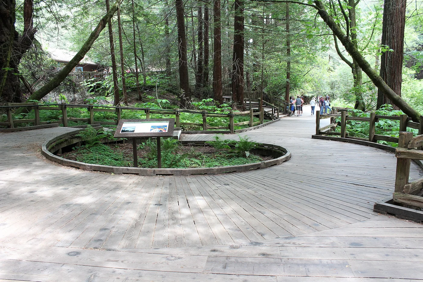 Archive photo · 2018
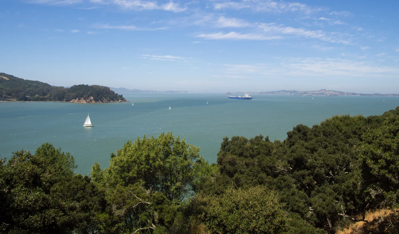 Archive photo · 2017
Bay Area regions explained: San Francisco, the Peninsula, South Bay, East Bay and North Bay, and who each one suits
Archive photo · 20112 min read
A Visitor’s Day Beyond the City: Choose Redwoods, Point Reyes or Half Moon Bay and Plan the Return
Archive photo · 20186 min read
A day on Angel Island: choose your return ferry before the walk
Archive photo · 20174 min read
Sonoma beyond wine: historic buildings and a walk around the Plaza
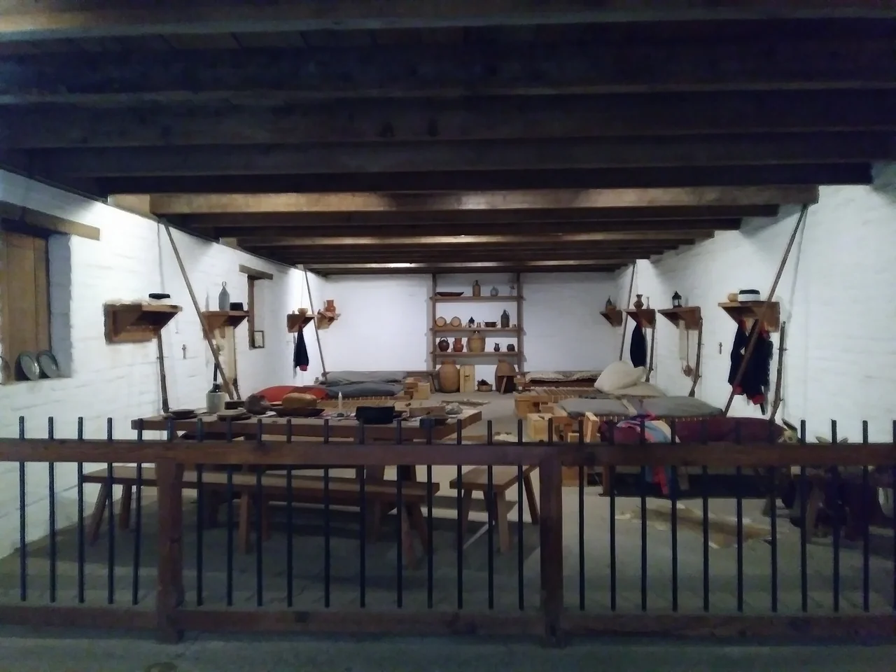 Official image
Oct edition · 1 min read
Image credits (5)
- Archive photo · 2021Outside Bear Valley Visitor Center, November 2021. An archive photograph to help recognize the starting area; check current surfaces and opening separately.Harry Cutts · CC BY-SA 4.0 · Resized and compressedLicense
- Archive photo · 2011The Golden Gate Bridge viewed from the water, in a 2011 archive photo. This bay scene does not represent a specific ferry route.l0da_ralta · CC BY 2.0 · Resized and compressed; cropped on cardsLicense
- Archive photo · 2018A Muir Woods main-trail boardwalk in a 2018 reference photograph; ask a ranger about current conditions and open sections.Sarbjit Bahga · CC BY-SA 4.0 · Resized and compressedLicense
- Archive photo · 2017Bay views around Ayala Cove on Angel Island, July 2017. An archive photograph; weather, visibility and ferry arrangements depend on the day of your visit.Rhododendrites · CC BY-SA 4.0 · Resized and compressedLicense
- Official imageCalifornia State Parks reference photo of Sonoma Barracks; current displays and access may differ.California State Parks · Official reference photo · Resized and compressed