
A day on Angel Island: Choose your return ferry before the walk
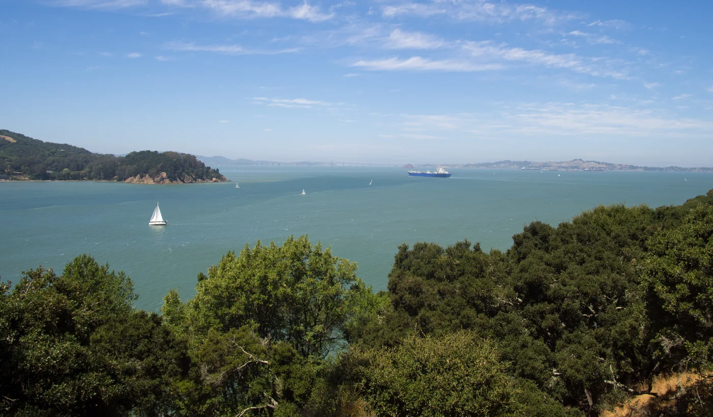 Archive photo · 2017
Compare San Francisco and Tiburon departures, separate ferry and park admission from museum visits, and plan for stairs, steep roads, supplies and the final sailing.
For: Day visitors who want a ferry outing, Visitors interested in Bay Area immigration history
As the ferry leaves the shore, Angel Island offers hills, sea air and a new distance from the city. For a first visit, focus on Ayala Cove and the immigration station, combining walking and bay views with history that deserves time. Many immigrants faced inspection and detention here; leave space to reflect on the poems and personal stories during your visit.
Set your ferry, ticket and food plans before boarding
- Editorial timing: allow roughly 4–5 hours on the island for Ayala Cove and the immigration station, plus ferry travel. Pick a feasible return sailing before deciding how long to explore.
- For San Francisco, check Golden Gate Ferry; for Tiburon, check Angel Island Tiburon Ferry. Verify each operator’s schedule, ticketing and departure dock separately; do not assume the other operator is an automatic backup.
- Budget for transportation and park admission. Golden Gate Ferry currently includes state park admission in its fare and advises arranging return tickets before traveling. Some immigration station interiors charge separately; free exhibition spaces also have their own opening arrangements.
- Bring enough drinking water, lunch, sun protection and a windproof layer. Island food service, shuttles and trams are seasonal; include them only after confirming actual operation.
Link the landing and immigration station with one out-and-back route
Ayala Cove → immigration station → time back at the landing
Visit lengths are editorial suggestions; walking speed depends on slopes, stairs and your group. Maps locate the stops; follow the official map and on-site signs for the actual route.
Stop 1 · Arrive at Ayala Cove and identify the return landing
Photograph the return information, identify the boarding queue and restroom, and allow 20–30 minutes to organize bags and read the map. Before following a crowd uphill, confirm whether you are taking the shorter stair route or the longer road option.
View on mapStop 2 · U.S. Immigration Station
The official stair route is about 1 mile one way from the landing with approximately 140 steps. The stair-free route is about 1.5 miles and still steep in places. Allow walking time for your group, then roughly 60–90 minutes for exhibits. Check opening and admission that day and distinguish the detention barracks from the immigration museum in the former hospital.
View on mapStop 3 · Return to the Ayala Cove lawn and ferry landing
Return by the route you already checked. Reach the landing area before deciding whether to picnic or watch the water. As an editorial planning target, be back at Ayala Cove 30 minutes before your chosen boat. Golden Gate Ferry separately recommends reaching the dock about 15 minutes before departure; that is not the time to start walking from the museum.
View on mapPlan mobility, family pace and weather together
Stair-free does not mean level. State Parks notes steep hills on the longer road to the immigration station and recommends it only for power-wheelchair users with sufficient battery and capability. Manual-wheelchair users should contact the park in advance about workable assistance. Staff rides and commercial shuttles are not guaranteed on arrival and may not accommodate power wheelchairs or visitors unable to transfer to a vehicle seat. With small strollers or young children, the Ayala Cove lawn, visitor center area and a picnic can form a complete shorter visit.
Check items off to organize your thoughts. Your selections reset when you leave this page.
Read current restrictions, then follow the ferry and museum links. Recheck return arrangements for your actual date.
Discover another Bay Area waterfront outing
Compare Sausalito and other North Bay routes to find alternatives for different energy levels and weather.
Explore more Bay Area outing guidesOfficial sources
Check the original sources for your circumstances. Admission prices, hours, rules, and services may change.
- California State Parks: Angel Island notices(opens in a new tab)
Check current restrictions, park information and museum opening arrangements.
- California State Parks: island access and walking routes(opens in a new tab)
Check Ayala Cove, immigration station distances, stairs, food options and other routes.
- California State Parks: immigration visits and mobility assistance(opens in a new tab)
Confirm steep grades on the stair-free route and ask ahead about shuttles and vehicle transfer limitations.
- Golden Gate Ferry: Angel Island tickets and boarding(opens in a new tab)
Review return ticket arrangements, included park admission and recommended dock arrival time.
- Golden Gate Ferry: San Francisco route schedule(opens in a new tab)
Check direction, sailings and service alerts for your date instead of relying on an old screenshot.
- Angel Island Tiburon Ferry: dated sailing calendar(opens in a new tab)
For a Tiburon departure, check the operating day and return sailing separately.
Content updated Sep 26, 2026
Official sources checked on September 26, 2026. Routes and visit lengths are BAYLINK editorial suggestions. Recheck opening information, ferries and temporary restrictions before leaving. Archive photographs do not represent conditions on your visit.
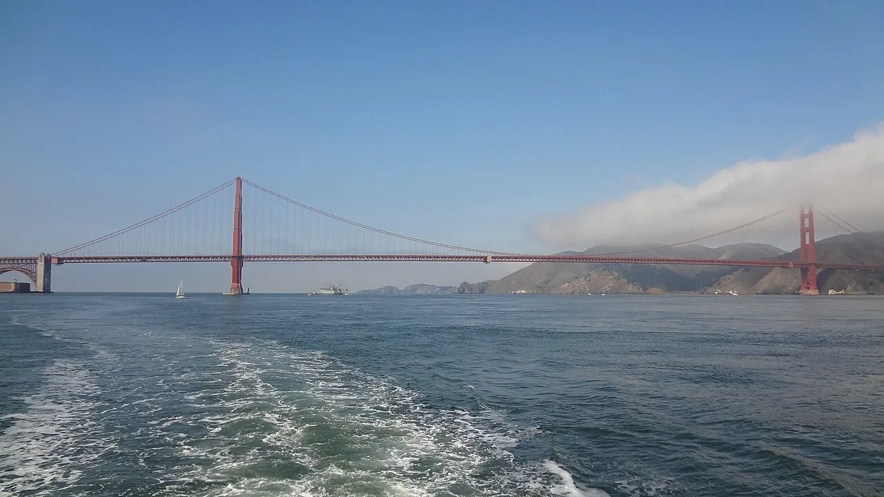 Archive photo · 2011
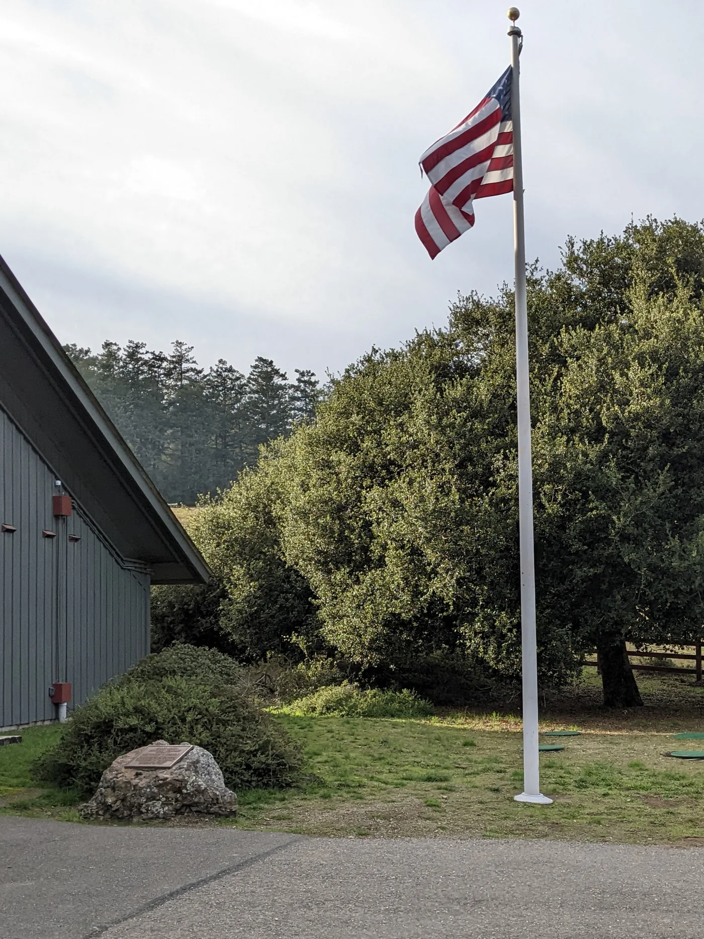 Archive photo · 2021
Sonoma beyond wine: historic buildings and a walk around the Plaza
Oct edition · 1 min read
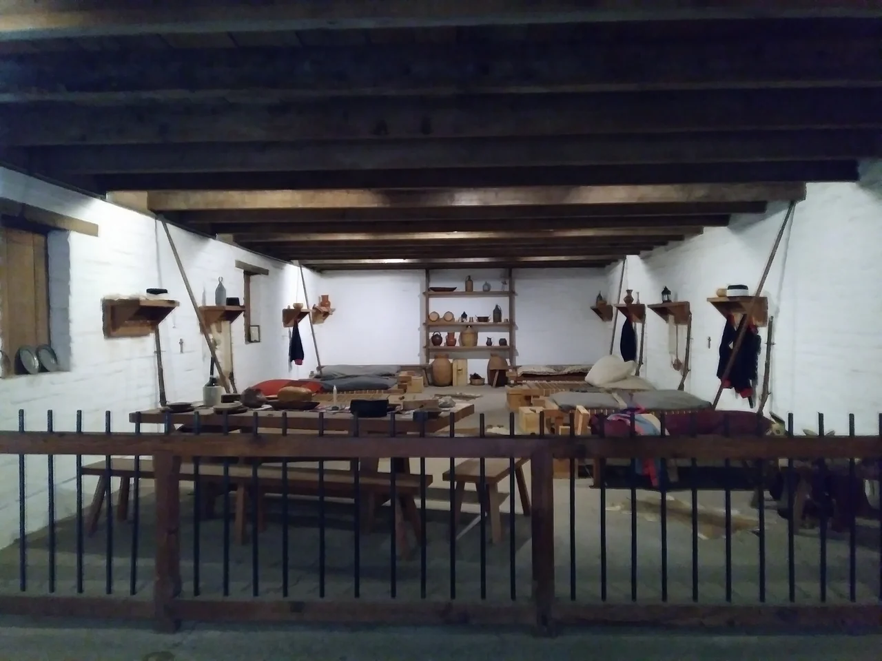 Official image
Bay Area regions explained: San Francisco, the Peninsula, South Bay, East Bay and North Bay, and who each one suits
Archive photo · 20112 min read
A first visit to Point Reyes: woodland, meadows and geology at Bear Valley
Archive photo · 20213 min read
Sonoma beyond wine: historic buildings and a walk around the Plaza
Official imageOct edition · 1 min read
A China Camp half-day: Chinese shrimping history by the bay
 Archive photo · 2010
Oct edition · 2 min read
Image credits (5)
- Archive photo · 2017Bay views around Ayala Cove on Angel Island, July 2017. An archive photograph; weather, visibility and ferry arrangements depend on the day of your visit.Rhododendrites · CC BY-SA 4.0 · Resized and compressedLicense
- Archive photo · 2011The Golden Gate Bridge viewed from the water, in a 2011 archive photo. This bay scene does not represent a specific ferry route.l0da_ralta · CC BY 2.0 · Resized and compressed; cropped on cardsLicense
- Archive photo · 2021Outside Bear Valley Visitor Center, November 2021. An archive photograph to help recognize the starting area; check current surfaces and opening separately.Harry Cutts · CC BY-SA 4.0 · Resized and compressedLicense
- Official imageCalifornia State Parks reference photo of Sonoma Barracks; current displays and access may differ.California State Parks · Official reference photo · Resized and compressed
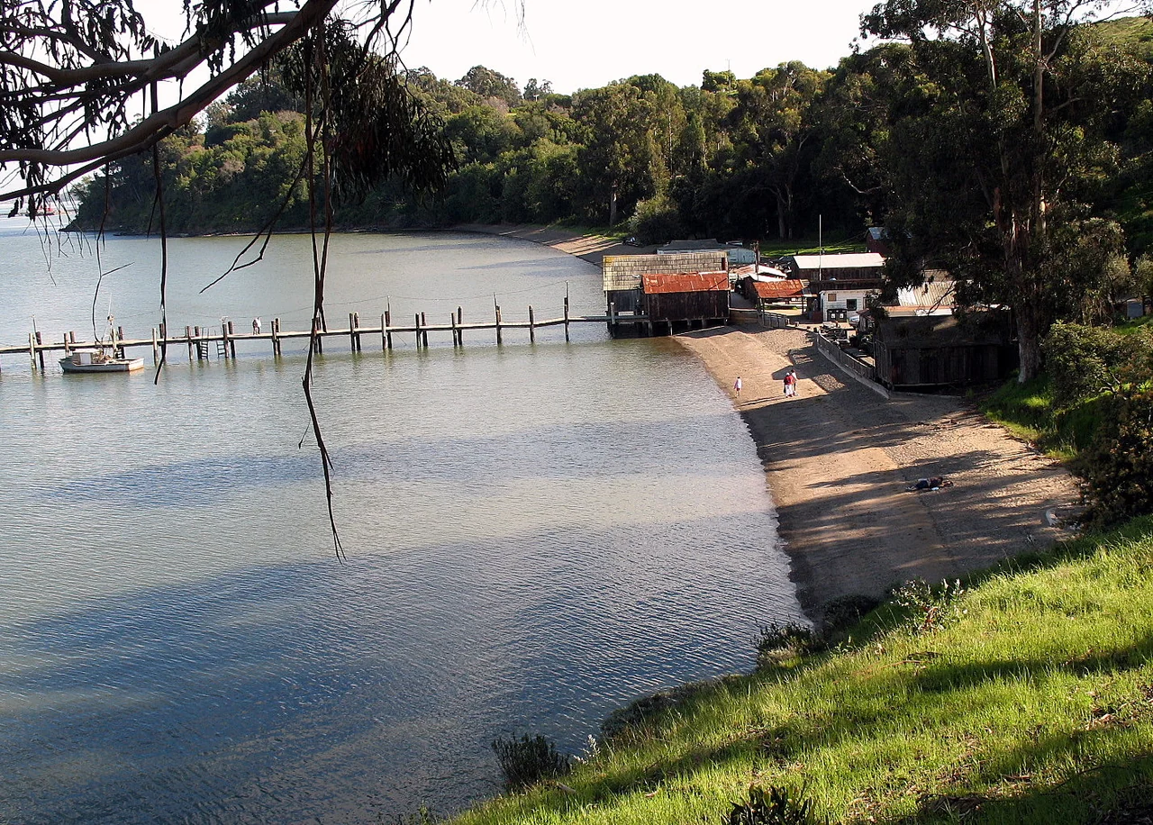
- Archive photo · 2010China Camp village, pier and shoreline, photographed in March 2010. Check the park's current notices for pier and beach access.Sanfranman59 / Wikimedia Commons · CC BY-SA 3.0 · Resized and compressed; cards crop to fit the layoutLicense