
A slow Mission half-day: Dolores Park and neighborhood murals
 Archive photo · 2025
Combine park time and Balmy Alley murals in a route you can split into sections, with advice on walking, tour booking, slopes, and family pacing.
For: Neighborhood culture enthusiasts, Unhurried city walkers
This route introduces the Mission as a lived-in neighborhood: enjoy the skyline and everyday life at Dolores Park, then read the people, language, and community memories in its murals. Pause at individual works and make lunch part of the outing. Split the itinerary across two visits if useful; families can happily limit it to the park and one mural alley.
Choose an independent walk or a community-led tour
- Allow an editorial estimate of 3–4 hours including lunch; the park and Balmy Alley are separated by a neighborhood walk.
- The park and public street art need no attraction ticket; food, transport, and Precita Eyes tours cost extra.
- Meet at Dolores Park and plan to leave from the 24th Street area; drivers should include the distance back to their car.
- If joining a tour, fit park time around the current departure and confirm the meeting address; do not reuse dates or prices from archived event pages.
Three unhurried stops from lawns to murals
Dolores Park → 24th Street → Balmy Alley
This is an editorial route. The mural area is not immediately outside the park; use a separate transit connection if walking the whole distance is too much.
Stop 1 · Dolores Park lawns and city views
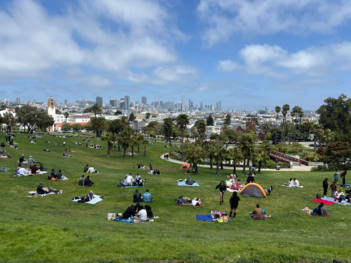
Find somewhere off the main paths to sit and take in the lawns and skyline; the highest point is not essential. Families can begin at Helen Diller Playground and choose age-appropriate equipment. The park is sloped, so stroller users and visitors with limited mobility should use paved paths and choose a comfortable resting spot.
View on mapStop 2 · 24th Street and Precita Eyes
Walk or take transport to 24th Street, stop for lunch and a seated break, then visit Precita Eyes for mural context. Tour participants should arrive at their booked time. Independent visitors can focus on a few works, noting artists and themes to connect the images with neighborhood life.
View on mapStop 3 · Read the murals of Balmy Alley
First take in a mural’s overall composition, then examine its figures, text, and colors. Invite children to choose a favorite and describe what they see. The alley also contains residents’ entrances and driveways; keep them clear for photos, avoid touching murals or entering private spaces, and return to 24th Street for transport.
View on mapAdjust for sun, slopes, and your group’s energy
Bring water, sunscreen, and a light layer on sunny days. In rain, shorten the outing to the mural area and an indoor meal. Accessible playground entry does not mean every play structure, lawn, or street surface suits a wheelchair. Plan family breaks, cross roads together, and check return transport; allow extra walking or ride time if returning to your original parking spot.
Check items off to organize your thoughts. Your selections reset when you leave this page.
Confirm tours and meeting details on the latest Precita Eyes pages.
Explore more Bay Area neighborhoods and culture
Compare city walks, campuses, and art museums around your group’s interests.
Browse more outing guidesOfficial sources
Check the original sources for your circumstances. Admission prices, hours, rules, and services may change.
- SF Rec & Park: Mission Dolores Park(opens in a new tab)
Park location, lawns, playground, restrooms, and street parking information.
- SF Rec & Park: Helen Diller Playground(opens in a new tab)
Age-appropriate play areas and the path from the accessible entrance to the playground.
- Precita Eyes: mural center and current tours(opens in a new tab)
Artist-led tours and visitor center information from the community mural organization.
- Precita Eyes: background on the classic mural route(opens in a new tab)
Describes the tour area around 24th Street and Balmy Alley; archived dates and prices are not treated as current schedules.
Content updated Sep 26, 2026
Official sources checked September 26, 2026. Routes and suggested durations are BAYLINK editorial recommendations; recheck opening arrangements, prices, transport, and access before leaving.
 Archive photo · 2011
 Archive photo · 2012
San Francisco guide
4 min read
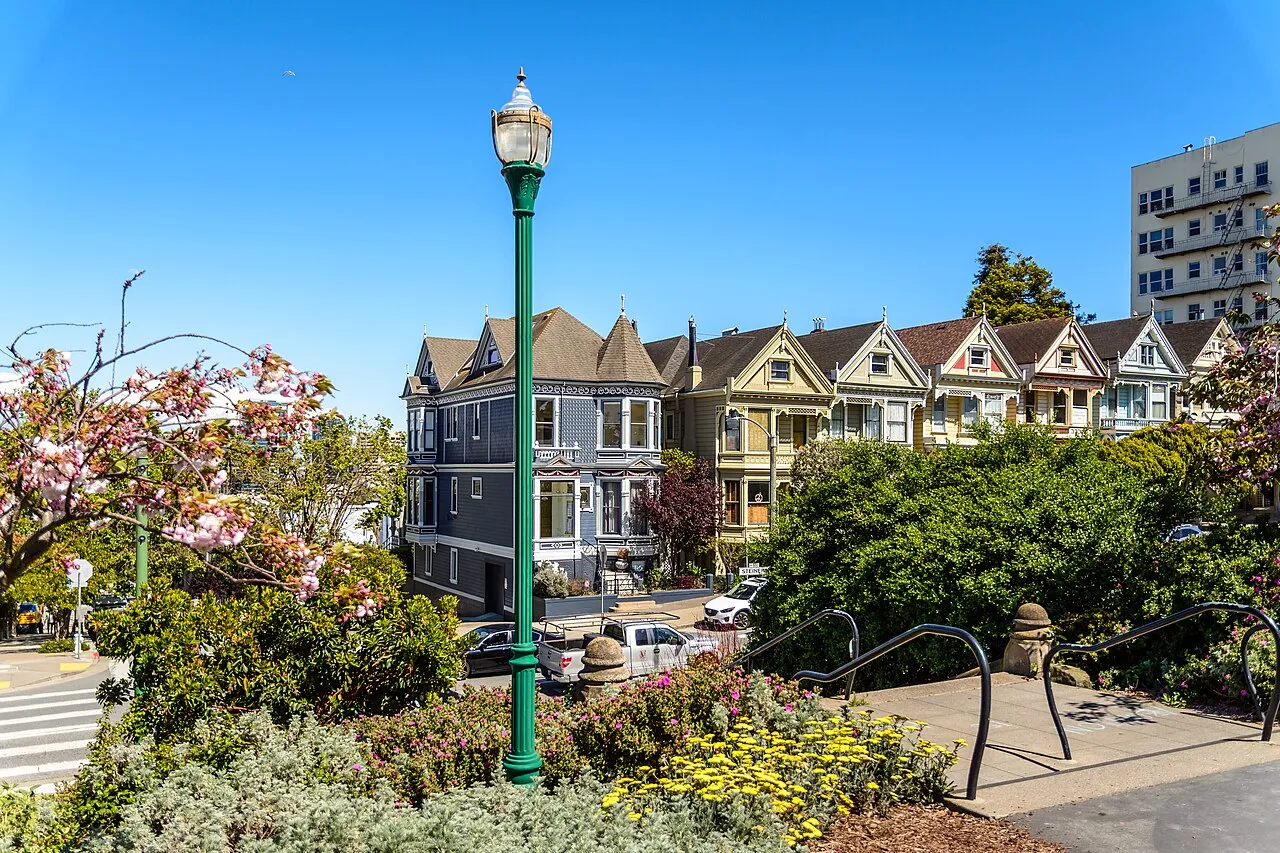 Photo · 2022
Bay Area regions explained: San Francisco, the Peninsula, South Bay, East Bay and North Bay, and who each one suits
Archive photo · 20112 min read
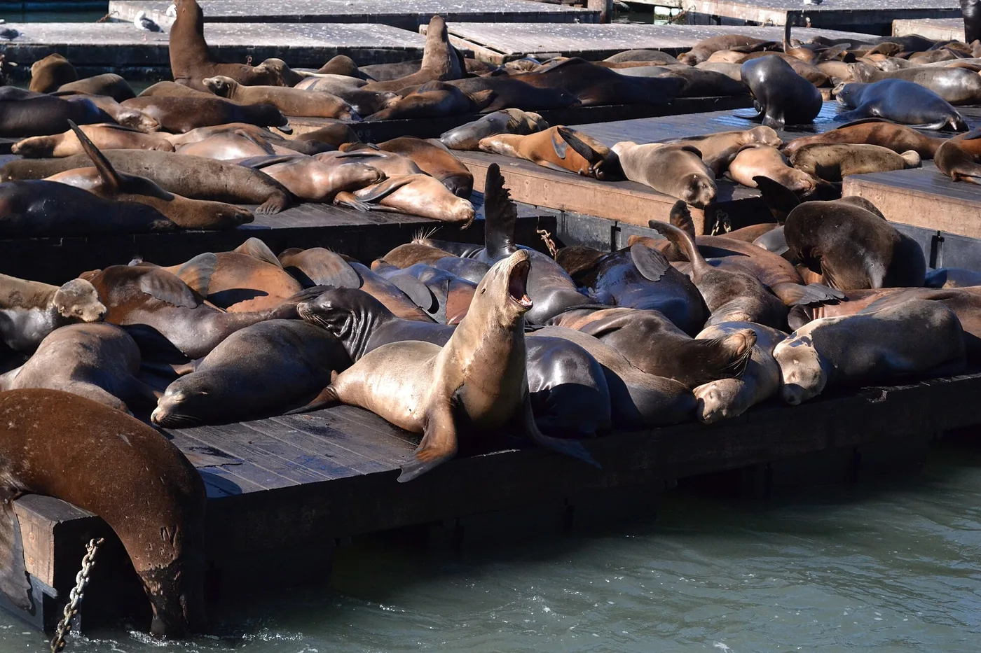
Fisherman’s Wharf and PIER 39: sea lions, waterfront walks and optional paid stops
Archive photo · 20122 min read
San Francisco guide
Photo · 20224 min read
A coastal half-day in San Francisco: Lands End and Sutro Baths
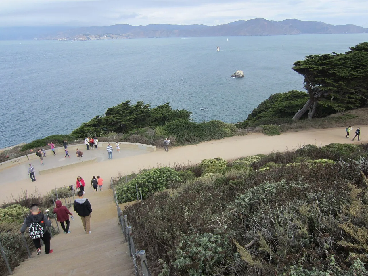 Archive photo · 2018
3 min read
Image credits (5)
- Archive photo · 2025Mission Dolores Park, May 2025. An archive photograph showing the park’s sloping lawns and city views, not current crowd levels.Alexwennerberg · CC0 · Resized and compressedLicense
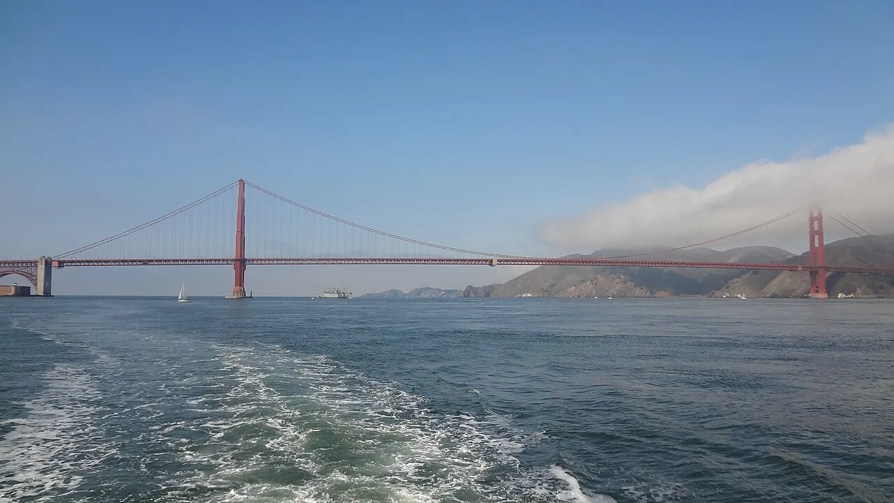
- Archive photo · 2011The Golden Gate Bridge viewed from the water, in a 2011 archive photo. This bay scene does not represent a specific ferry route.l0da_ralta · CC BY 2.0 · Resized and compressed; cropped on cardsLicense
- Archive photo · 2012Sea lions at PIER 39 in a 2012 reference photo. Numbers vary with the season and natural behavior; the same scene is not guaranteed on your visit.Jennyhjert / CC BY-SA 4.0 · resized and compressedLicense
- Photo · 2022Alamo Square streetscape in San Francisco, photographed in 2022. Shows the neighborhood, not a rental listing on this site.dconvertini · CC BY-SA 2.0 · Resized and compressed; cropped on cardsLicense
- Archive photo · 2018The coastal trail, steps and bay views at Lands End. Archive photograph, 2018.Another Believer · CC BY-SA 4.0 · Resized and compressedLicense