
A short Martinez shoreline walk: A loop under one mile, with October gate times
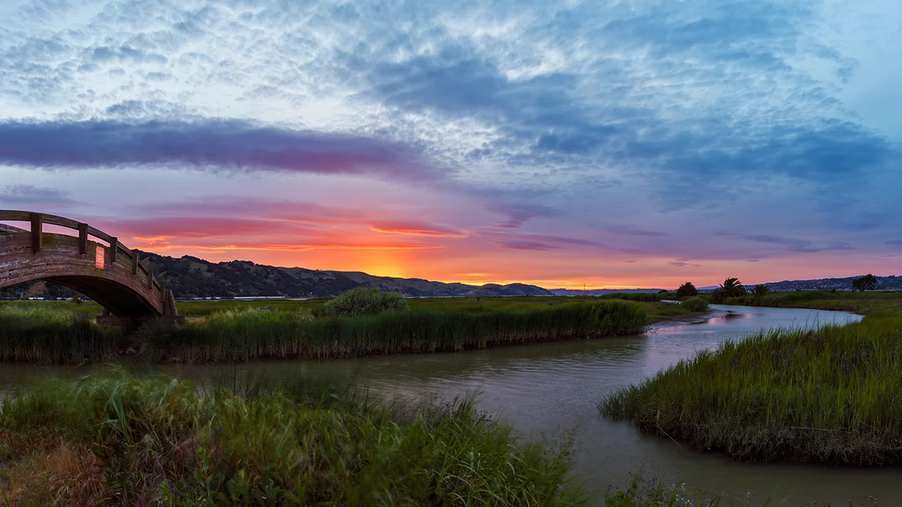 Official image
A manageable shoreline plan for Contra Costa residents, combining an official short loop with October parking-area hours and the current algae advisory.
For: Contra Costa residents, Families seeking a short walk
North Court Street parking at Radke Martinez Regional Shoreline connects to the official 0.95-mile Killdeer/Duckpond Loop, with paved and natural surfaces. October hours are 8 am–6 pm for the main lawn and picnic area, and 8 am–5:30 pm at Grangers' Wharf. Parking is free.
Editorial plan: 60–90 minutes from one entrance
- Meet near 300 N. Court Street, confirm the parking area's closing time and restroom location, and use the official short-loop map.
- Observe the wetlands along open Killdeer and Duck Pond sections, using two stops for birdwatching. Turn back if the surface does not suit your stroller.
- Plan your return before the parking area closes and rest at the starting point. Avoid an unplanned extension to another entrance just because trails connect.
Check opening hours, temporary changes, and reservation requirements before setting a meeting time.
Official sources
Check the original sources for your circumstances. Admission prices, hours, rules, and services may change.
- EBRPD: Radke Martinez shoreline(opens in a new tab)
Check October area hours, free parking, the water-quality advisory, and dog exclusions.
- EBRPD: northern region short loops(opens in a new tab)
Lists the 0.95-mile Killdeer/Duckpond Loop from North Court Street.
Content updated Sep 23, 2026
Official information checked September 23, 2026, for regular October visits. Routes, suggested durations, and family activities are BAYLINK editorial recommendations. Regular opening does not confirm a special event; recheck official notices before leaving.
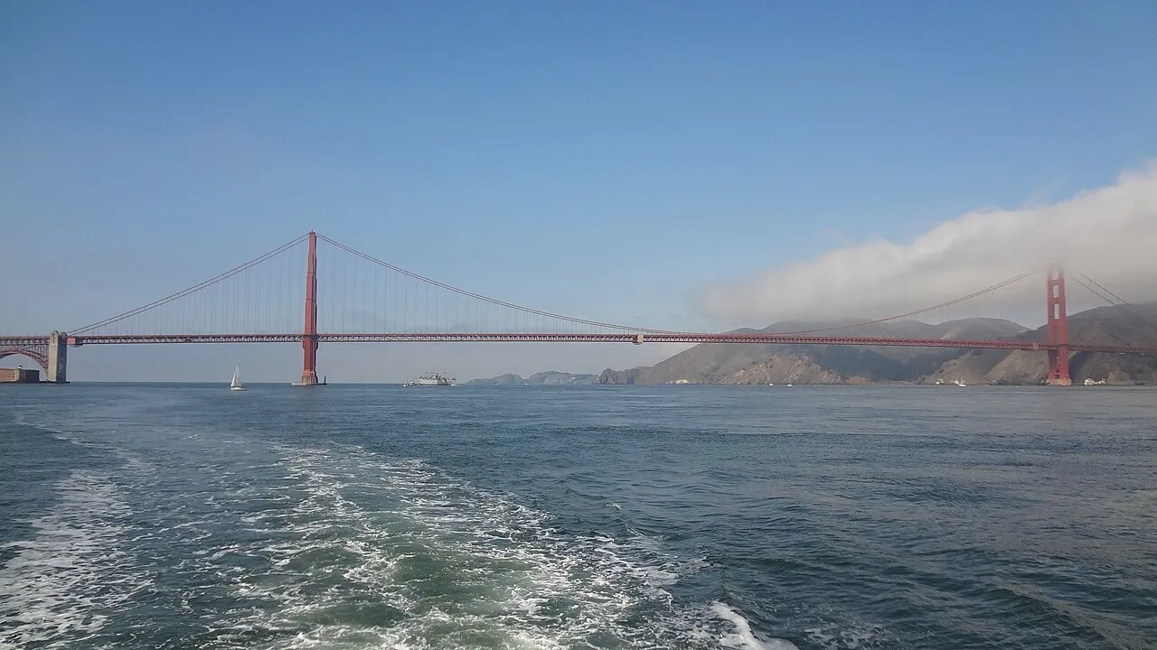 Archive photo · 2011
 Archive photo · 2013
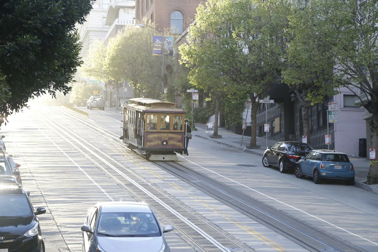 Illustrative photo
Explore and settle into all 101 Bay Area cities and towns
Archive photo · 20113 min read
Two hours off screens: Three ways to watch birds with kids at Palo Alto Baylands
Archive photo · 20135 min read
Bay Area regions explained: San Francisco, the Peninsula, South Bay, East Bay and North Bay, and who each one suits
Illustrative photo2 min read
Alviso's autumn wetlands: a boardwalk and time to observe
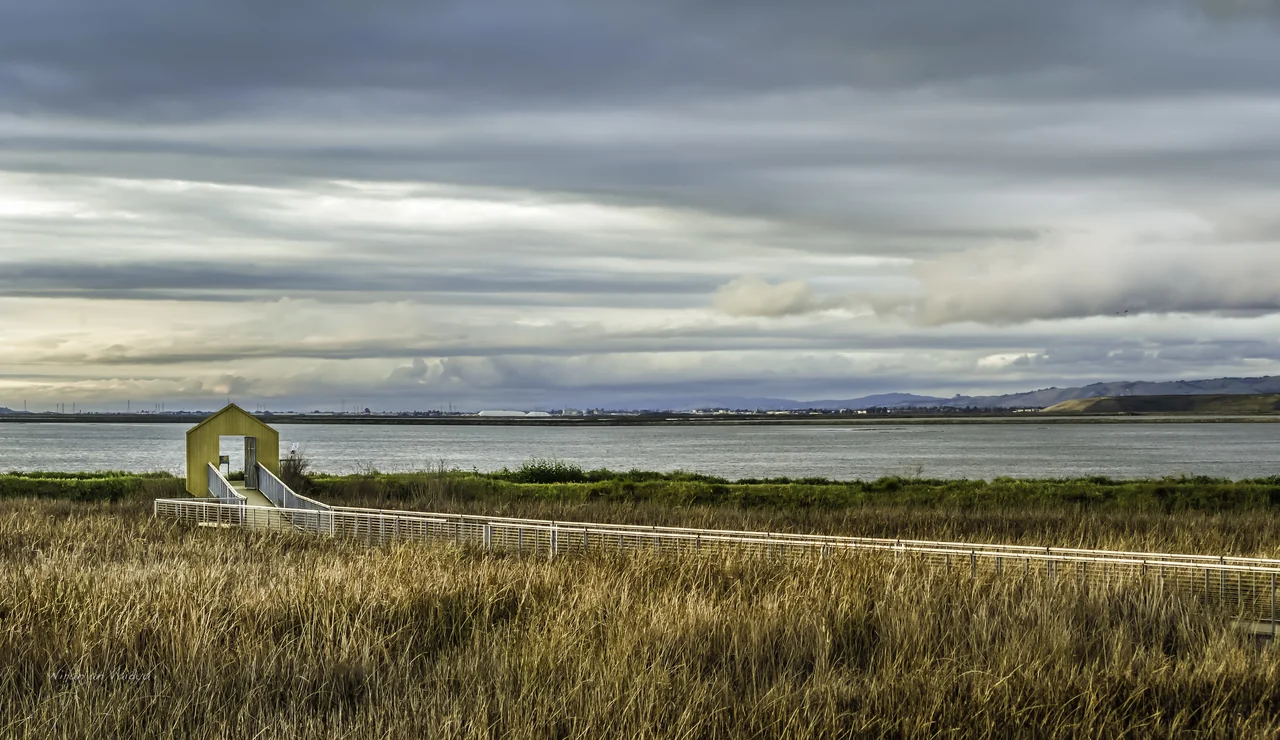 Archive photo · 2013
Oct 7–Nov 30 edition · 1 min read
Image credits (5)
- Official imageEBRPD reference photo of Martinez shoreline; water appearance does not replace current water-quality advisories.Justin Jarratt / East Bay Regional Park District · Official reference photo · Resized and compressed
- Archive photo · 2011The Golden Gate Bridge viewed from the water, in a 2011 archive photo. This bay scene does not represent a specific ferry route.l0da_ralta · CC BY 2.0 · Resized and compressed; cropped on cardsLicense
- Archive photo · 2013Palo Alto Baylands Nature Preserve, in a 2013 archive photo. Bird sightings, water levels, and open trails depend on the day.King of Hearts · CC BY-SA 4.0 · resized and compressedLicense
- Illustrative photoIllustrative photo of the category; not a photo of the listed event, venue or scene.Illustrative photo · Georg Eiermann / UnsplashLicense
- Archive photo · 2013Alviso Marina County Park in a 2013 reference photo; it shows the wetland setting, not current trail access.Wanderenvy / Niranjan Vaidya · Wikimedia Commons · CC BY-SA 3.0 · Resized and compressedLicense