Your First East Bay Weekend: Two Slow Routes Around Oakland's Lake and Berkeley's Campus
Choose one area at a time, with room for a walk, a meal, and the trip home
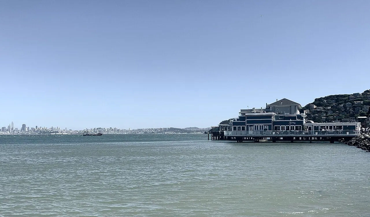
Want some company?Start an outing with this article’s coverOakland viewed from Lake Merritt in an archival photo from 2008. Illustrates the lake's surroundings, not the city's current skyline.
Start at a BART station and choose a short out-and-back along Lake Merritt's south shore or a small loop from Downtown Berkeley to the west side of campus. Plan your first East Bay walk around the weather and everyone's energy.
On a first East Bay outing, it's tempting to fit the lake, campus, hills, and waterfront into one day. A more comfortable plan is one small area with a clear starting point and an easy way to turn back. These two options combine walking and BART, with meals and seated breaks included. They are alternatives, not two halves you need to finish back to back.
Before heading out, choose your pace for the day
Choose Oakland for water views, conversation, and less focus on architecture; choose Berkeley for campus edges and neighborhood streets. Allow about half a day for either, with walking time adjusted to your group's stamina. Neither route assumes spending at a business or entering a museum. If rain arrives or energy drops, shorten the walk and return to the station.
Route A: A short out-and-back along Lake Merritt's south shore
Start and end at Lake Merritt BART station. Walk north on Oak Street toward 12th Street, following crosswalks and waterfront signs to the south-shore path. Sit by the lake first, then walk along the south shore toward the channel bridge on Lake Merritt Boulevard. Rest near the bridge, turn back, and retrace your route to the station. Take your time at intersections and follow open routes around barriers.
BART's official walking guide confirms the station is close to the lake, but the full loop is about five kilometers. A quick waterfront visit and a complete circuit are different outings. Choosing a turnaround point is better for a first visit than feeling obliged to finish a loop on a map. To visit the gardens on the north side, check Oakland's Lakeside Park page for location and facilities, and allow extra walking time.
A new-generation BART train at Coliseum station, photographed in 2024.
Route B: Downtown Berkeley and the west side of campus
Start at Downtown Berkeley BART station, head toward Center Street and Shattuck Avenue, then walk east on Center Street to the campus edge at Oxford Street—the direction given on UC Berkeley's official visitor page. Once on campus, use the official map to find West Crescent, then stroll southeast toward Sather Gate. Stick to outdoor paths; academic buildings are not attractions you can enter freely.
From Sather Gate, head south through Sproul Plaza to Bancroft Way. Follow Bancroft west to Shattuck, then north to Downtown Berkeley station to complete a small loop. Parts of campus are sloped; check street names and turns against the official map and signs. If anyone gets tired, return from the west side of campus along Center Street instead. The outing is just as worthwhile.
Let opening hours shape optional stops, not a rushed itinerary
Being able to walk past a place doesn't mean every garden, gallery, or building there is open. Oakland's parks page lists multiple facilities; check the individual facility before entering. For a Berkeley tour or tower visit, check Visitor Services. Don't make an unconfirmed indoor visit a must-do just because you're nearby.
Be specific about meeting up and getting home
Check items off to organize your thoughts. Your selections reset when you leave this page.
Once there, ask one simple question before adding another stop: After walking there, will I still want to walk back? If you're unsure, stay put, drink water, chat, and watch the city for a while. Your first weekend is a chance to learn how you like to explore. You can widen your range next time.
Find a companion for an East Bay walk
Choose one route and specify the meeting station, available dates, walking pace, and expected finish time. Don't present a private meetup as an official event.
Studying here: districts and campus resources
Find the responsible district, application and transfer steps, plus local university and community college resources.
Next, choose a detailed place guide
Explore highlights, walking routes, transport and reservations in more detail. Or open Explore places to build an outing around your favorites.
The campus and hillside garden are separate stops. The Botanical Garden requires admission.
Pair a lakeside walk with California stories. Check museum admission and opening days separately.
Choose a short trail that suits you. Check parking charges and trail notices separately.
Explore aircraft and a historic carrier, then unwind by the bay; the ship needs a ticket and has limited access, and the shore requires a separate transfer.
Watch birds, explore Ohlone culture, and take short wetland walks; parking is extra, and even the paved loop needs planning around grades and energy.
Filter by area, interest and admission, then save, order and share your own outing plan.
Official resources and service links
Check the original sources for your circumstances. Admission prices, hours, rules, and services may change.
- BART: walks you can reach by train(opens in a new tab)
Check how Lake Merritt station connects to the waterfront and the full lake loop.
- City of Oakland: Lakeside Park(opens in a new tab)
View lake-area facilities, then check each facility's opening information.
- UC Berkeley: Public transit and directions to campus(opens in a new tab)
Confirm the route from Downtown Berkeley station along Center Street to campus.
- UC Berkeley: official campus map(opens in a new tab)
Locate the west side of campus, Sather Gate, and nearby entrances.
Original BAYLINK local life guide. Routes are editorial suggestions, not guided tours. Card eligibility, opening arrangements, and transportation are subject to the relevant organization's notices on the day.